History
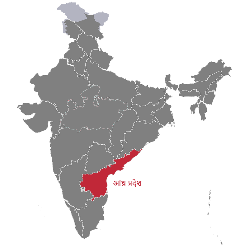
Andhra Pradesh is the state located in the south of the country, sharing its boundaries with Bay of Bengal on the east, Telangana in the north-west Chhattisgarh in the north, Odisha in the north-east, Tamil Nadu in the south and Karnataka in the west. Covers an area of 162,970 sq km which makes it the 7th largest state of India. The city of port, Vishakhapatnam is the largest city of Andhra Pradesh.
Andhra Pradesh has a coastline of 974km and which makes it the second largest coastline among India. It is not only famous for its coastline but also famous for the world’s most famous religious temple i.e.; Tirumala Venkateswara Temple.
